I am in the last stages of planning for my 2026 Slow Camino.
I've been working on deciding
which pack I'll take.
Day before yesterday
I filled my 32L Brize pack for my daily walk.
It weighs 13 pounds with water.
It was "ok" but a little uncomfortable on my shoulders.
I actually like this pack best
because of how easy it is to pack.
It's a top-loading pack
so everything just stuffs down inside.
Also it only opens to the neck
so it's great to keep pickpockets at bay.
It's a very sleek pack.
30L Gregory Juno hydration pack.
I suspected it may be a bit more comfortable.
It rides more on the hips
than on the shoulders.
But it was a pain in the butt for me to pack
because it opens on the face
It's also 2L smaller
and that does make a difference.
I just am taking too many clothes for that pack.
I have to work to stuff everything in.
After fiddling with it,
I decided it was not a contender.
I may just sell that pack.
It's an awesome pack with hydration
and I've never carried it.
Maybe when I get back it'll go on Ebay.
Yesterday I hopped over to REI and picked up
a 34L Osprey Mira pack.
Lovely pack,
but when I tried carrying it full today
two very hard edges at the bottom frame
dug into my hips.
So that pack is getting returned today.
I think I've decided I'll carry
the Arcteryx Brize.
Generally I like a smaller pack
but since I'm starting in August
and finishing the end of October
I'll be walking in HOT weather
as well as cold.
So I need to take more clothes
than usual.
In the meantime,
this is what I'm packing.
I use packing cubes - they're old but still work great
and really help me stay organized.
As I said, I'm carrying more
than I normally would take
because I'm starting in HOT weather
and ending in COLD weather,
so I need to be able to layer my clothes.
This is what everything looks like
when it's loaded into the cubes:
I'll go through each cube to show you what I'm bringing
for this 68 day trip.
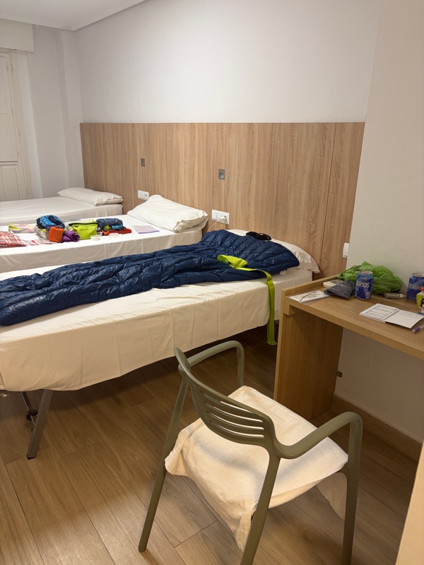
First is my NatureHike Ultralight down sleeping bag and pillow. I love this little sleeping bag.
I cut off the zipper and sewed up the bottom edge
to make a foot box, so
it's more like a down quilt.
Warm and featherweight.

In the largest cube are my daily clothes:
3 pair panties, 2 socks,
grey sun hat, grey featherweight sun hoodie, teal featherweight sleeveless shirt for sleeping, red merino wool short sleeve, black silk wool long sleeve,
a pair of shorts and my Macabi skirt.
I stuffed two extra masks in just in case.
In the next cube are my cold/hot weather clothes.
Blue ALTUS poncho (vacuum sealed for travel), pink neck cooler (you soak it in water then wear),
Marmot lightweight jacket,
fleece hat, black merino buff
(I've taken out the pink/blue scarf)
Next is my laundry/bath cube:
Bath soap, laundry soap (fels naptha),
large safety pins for drying clothes,
shampoo, clothes line

The green bag holds my first aid and bathroom things:
Shoe horn and eyebrow pencil
(I have no eyebrows - thanks to cancer),
KT tape, Electrolyte drops, Fluimucil,
toe gel tubes and washcloth pills,lambs wool, q-tips, razor, vicks, deodorant, dental floss,
Prep H, and a tiny pill carrier holding ibuprofen, Advil PM, a muscle relaxer, and Gaviscon. If I need more, there are pharmacies in pretty much every village.
Next are just loose extras:
Kula cloth and panty pads, extra shoestrings and tips for my pacer poles, Petzl headlamp, mosquito net (in orange bag), coffee, sugar, spork, shower shoes
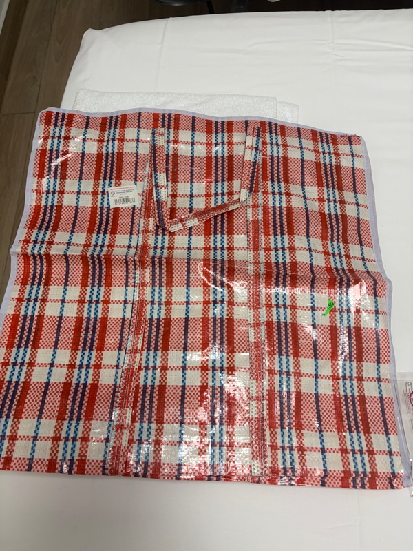
The plastic sleeve is for when I use pack transport. I plan on carrying my pack except for a few more difficult days. My credential, and two tiny journals.
This last bit is what I carry onto the plane with me.
For sleeping: earplugs, Advil PM, sleepmask
Earbuds, plug converter, power bank,
kleenex, nose spray and bengay
(in case someone has too much perfume on
and I need to mask it),
inhaler, toothbrush, pen, clorox wipes,
water bottle (not shown) and lastly,
an old cashmere sweater!
What I will wear on the plane.
These are very lightweight cotton genie pants
and a merino teeshirt.
I can wear these in the evenings after walking.
Also, I forgot to include my sun umbrella,
and I'll be taking my Pacer Poles.
I know this looks like a lot, but it really isn't for a 68 day trip.
It all packs up small.
I may or may not include a bladder.
Haven't yet decided.
Just 7 more sleeps!
Stay tuned,
Annie

 Well, as much as I love the penguin app it just didn't work for me. I got a notice from T-Mobile that my 30 day pass was already eaten up after 10 days. I don't understand computers or the Internet or data, but my son had me turn all my apps off. Apparently uploading all those photos to the cloud was using up my data.
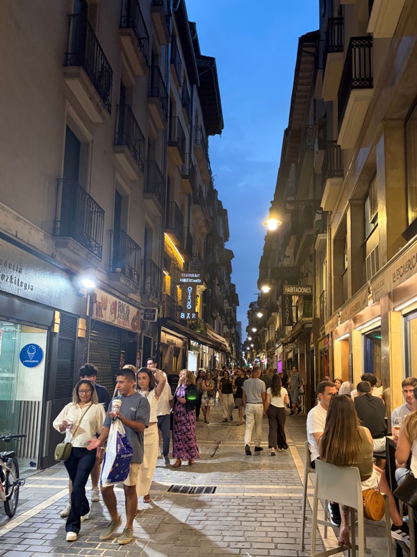 I got into Madrid, exhausted. My Pacer Poles made it and I was able to pick them up with no problems. While waiting for my flight to Pamplona I met two pilgrims who were trying to get someone to share a taxi to SJPP. Before we boarded the plane, a couple of pilgrims showed up, identifiable by their backpacks, and a connection was made. The price of a taxi from Pamplona