Well, I'm home.
As I walked, I was having problems
with 3 things:
my lungs,
the 92 degree heat,
and the mosquitos.
I was also reading a book called
"A Cup of Zen" each day.
In Puente la Reina, I walked out of a shop,
and a speeding car almost hit me.
He literally stopped 5 inches from my body.
AT this point, I was exhausted
He literally stopped 5 inches from my body.
AT this point, I was exhausted
and asking myself,
"Why am I doing this?"
"Why am I doing this?"
Then I opened my book and read,

Just out of curiosity,
I turned to the next page and read:

And I asked myself,
am I doing this simply because
it's what
I've always done?
What would happen if I let go,
I've always done?
What would happen if I let go,
because honestly,
I feel the Camino no longer serves me.
And I made the choice to let go.
I got a bus to Logroño
And I made the choice to let go.
I got a bus to Logroño
where I spent one night.
I got a bus to Madrid
I got a bus to Madrid
where I spent a night.
And I flew home the next day.
I got home September 1
And I KNOW I made the right decision.
And I flew home the next day.
I got home September 1
And I KNOW I made the right decision.
I'm happy.
I have my garden.
I have my garden.
I have my bed.
I have my bathtub.
It's good to be home.
An accident must have been in the stars
It's good to be home.
An accident must have been in the stars
for me,
because on September 5,
I tripped on an upended board
I tripped on an upended board
in my garden.
I fell forward and did a face plant
on the front of a water barrel,
throwing my head and left arm
violently backwards
as the rest of my body hit the ground flat.
I felt and heard a loud crack in my neck
I felt and heard a loud crack in my neck
and in my shoulder.
I told Joe,
"I think I broke my neck!"
I also hit a piece of rebar going down.
You can see it with the orange tape on it.
It scraped my knee, ankle and foot
"I think I broke my neck!"
I also hit a piece of rebar going down.
You can see it with the orange tape on it.
It scraped my knee, ankle and foot
and I ended up
with a big goose egg on my ankle.

After a bit, Joe helped me up
and took me to the ER.
After CT with contrast of my head,
After CT with contrast of my head,
neck, shoulder, and left arm,
I was sent home with an ice pack
and grateful that nothing was broken.
I felt like it was a miracle
I felt like it was a miracle
because I HEARD that loud crack.
It's been about 9 days since the accident.
The swelling on my ankle has gone down,
It's been about 9 days since the accident.
The swelling on my ankle has gone down,
but there is bruising all around the ankle,
the foot in front of my toes,
and it still hurts to walk.
They did not x-ray the foot and ankle
They did not x-ray the foot and ankle
because at the time,
we were more concerned
with my neck.
And even if I did break bones in the foot,
And even if I did break bones in the foot,
they wouldn't do much
except maybe
put it in a cast.
So I have just been elevating it with ice.
So I have just been elevating it with ice.
Joe helped me wrap it
with an ace bandage today.
My arm is really sore.
It throbs so I must have torn
My arm is really sore.
It throbs so I must have torn
or sprained the muscle.
I can't lift a coffee cup with it,
I can't lift a coffee cup with it,
and getting dressed is painful.
But all in all,
But all in all,
I so grateful it wasn't worse!
And
And
I'm glad if I had to have an accident,
I had it at home.
This week, despite my injuries,
I have had a great time
canning tomatoes
and corn.

 |
And this morning,
I boiled the corn cobs
added brown sugar,
and made 6 half-pints
of pancake syrup.
The garden is going nuts!
Joe canned green beans this week also.
My sweet potatoes are taking over one end.
The garden is going nuts!
Joe canned green beans this week also.
My sweet potatoes are taking over one end.
I dug one up this morning
to see if they were big enough
to harvest, but they need to stay
in the ground
another couple of weeks.
So that's it.
I'm home.
And that's where my heart is right now.
So that's it.
I'm home.
And that's where my heart is right now.
Love,
Annie
 Well, as much as I love the penguin app it just didn't work for me. I got a notice from T-Mobile that my 30 day pass was already eaten up after 10 days. I don't understand computers or the Internet or data, but my son had me turn all my apps off. Apparently uploading all those photos to the cloud was using up my data.
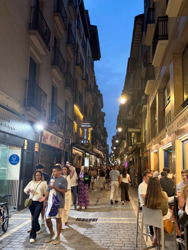 I got into Madrid, exhausted. My Pacer Poles made it and I was able to pick them up with no problems. While waiting for my flight to Pamplona I met two pilgrims who were trying to get someone to share a taxi to SJPP. Before we boarded the plane, a couple of pilgrims showed up, identifiable by their backpacks, and a connection was made. The price of a taxi from Pamplona